
Travel from the United States to Buenos Aires, Argentina.
Chapter 1 · Grades 4–6
The frozen continent
Antarctica is a rocky continent at the very bottom of our planet. It is wrapped in ice, circled by ocean, and full of clues about Earth’s past.
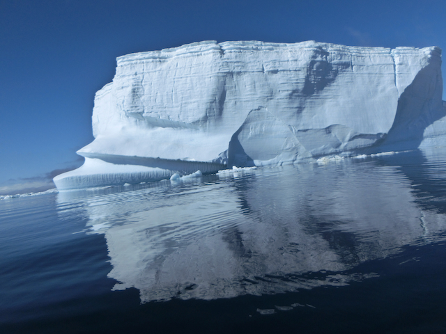
WindWalker Antarctic photo archive
Start here
If you travel south from every ocean, you eventually reach Antarctica.
The South Pole sits on this continent. Unlike the Arctic—which is mostly ocean covered by floating sea ice—Antarctica is land surrounded by the Southern Ocean. Mountains and valleys hide beneath an enormous ice sheet.
Find it on Earth
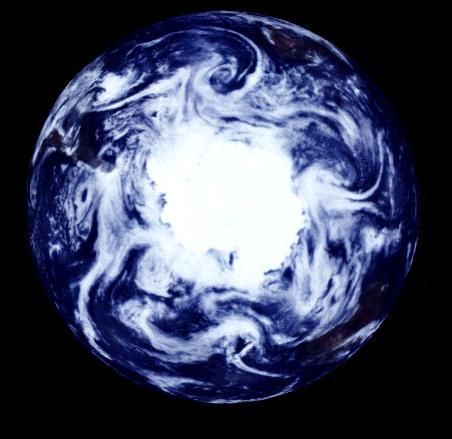
Antarctica circles the South Pole
You are looking at Earth from below, above the South Pole. Antarctica is the bright white land in the centre. The Southern Ocean forms a ring around it; South America, Africa, and Australia are farther out around the edge.
Every direction away from the South Pole is north.
South-polar Earth mosaic: NASA/JPL, Galileo. The view combines images from a full day so the whole hemisphere can be seen in daylight.
From here to the ice
A long way from familiar cities
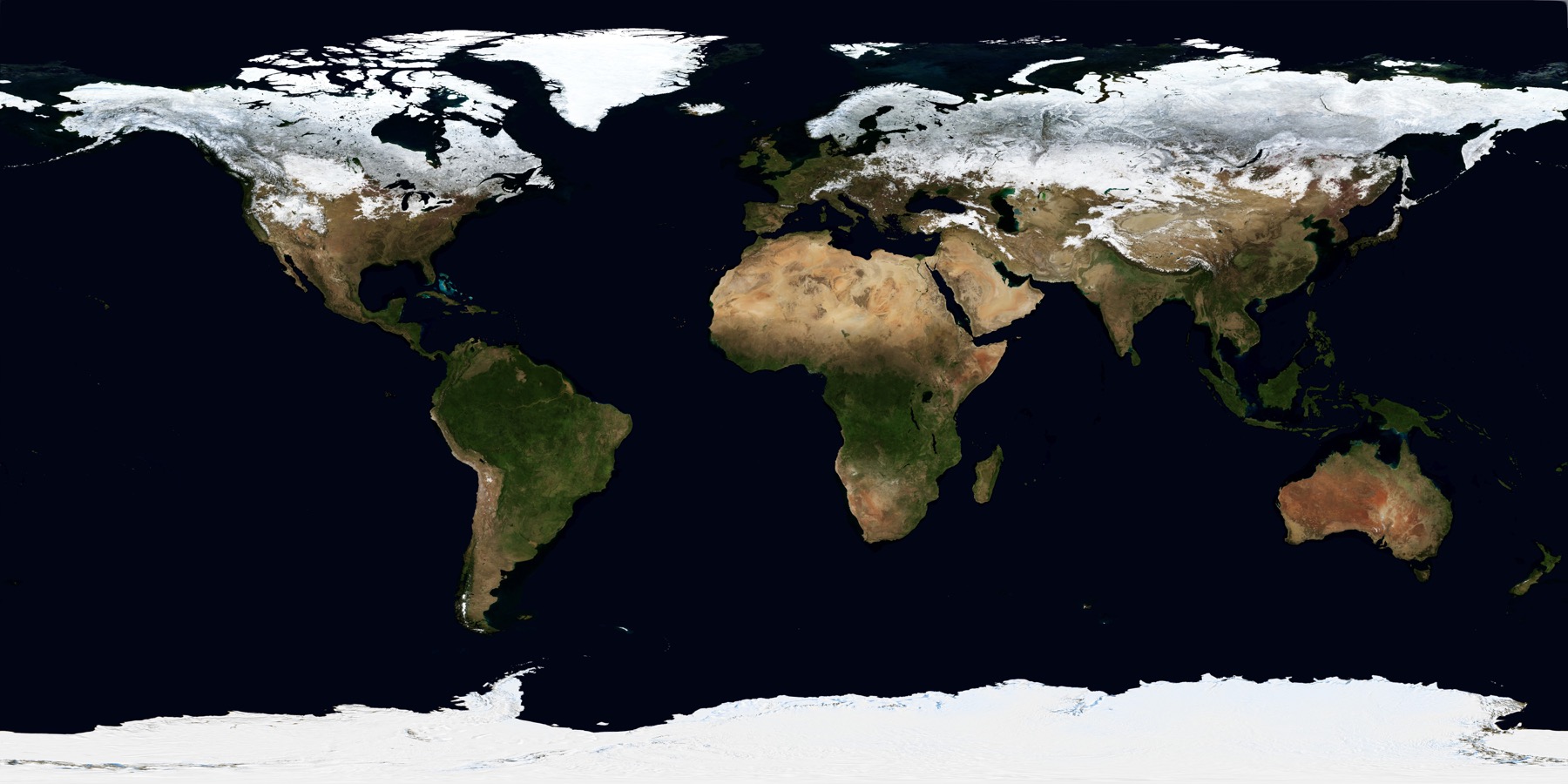
The South Pole is near the bottom of this world map. Compare it with four cities that children may know.
8,600 miles · 13,800 kmfrom Los Angeles, California
8,700 miles · 14,000 kmfrom Tokyo
9,000 miles · 14,500 kmfrom New York City
9,800 miles · 15,700 kmfrom London
Almost 4×New York to the South Pole is about as far as flying from New York to Los Angeles 3.7 times.
These are approximate straight-line distances to the geographic South Pole, rounded to the nearest 100 miles and 100 kilometres. Real journeys are longer. Base map: NASA Blue Marble.
How do people get there?
Airplane, airplane, then expedition ship
A common visitor route from the United States goes through Argentina to the Antarctic Peninsula.
Take another flight to Ushuaia, near the southern tip of South America.
An expedition ship usually needs about 1½ to 2 days to cross the Drake Passage.
The Antarctic Peninsula is the part of the continent closest to South America.
This route reaches the Antarctic Peninsula—not the South Pole. Most visitors travel by ship, though some trips use charter flights. Weather and sea conditions can change every plan. Learn more from the Australian Antarctic Program.
Big place, big numbers
Antarctica at a glance
Scientists call Antarctica a continent of extremes. These rounded numbers make its size easier to imagine.
square kilometres
That is roughly one and a half times the size of the United States.
average ice thickness
In some places the ice is more than twice that thick.
free of snow and ice
Almost the whole surface wears a white frozen blanket.
Ice has many shapes
Icebergs, glaciers, and frozen sea
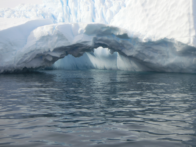
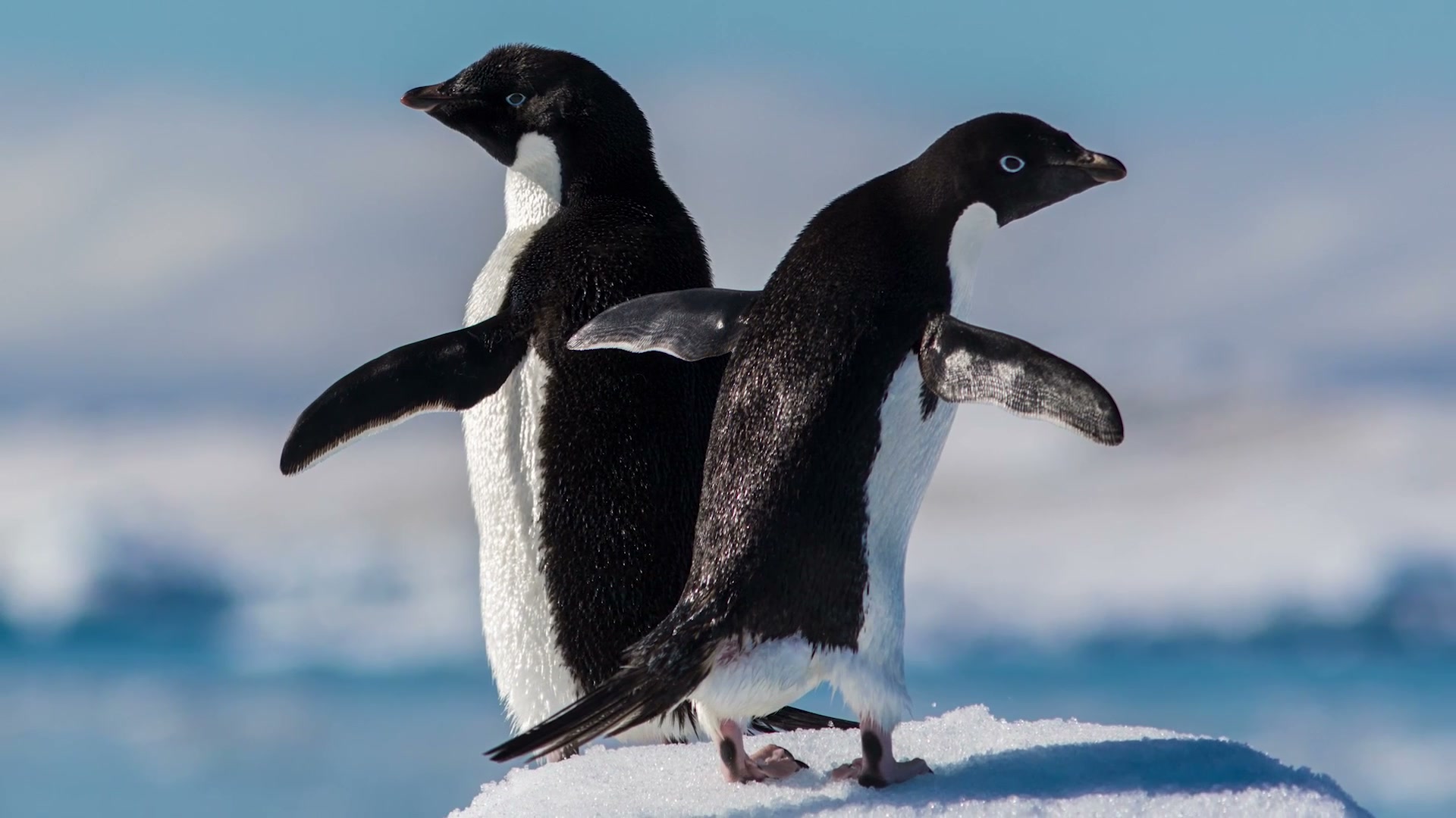
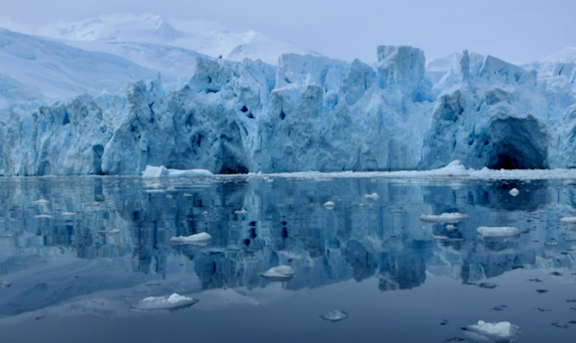
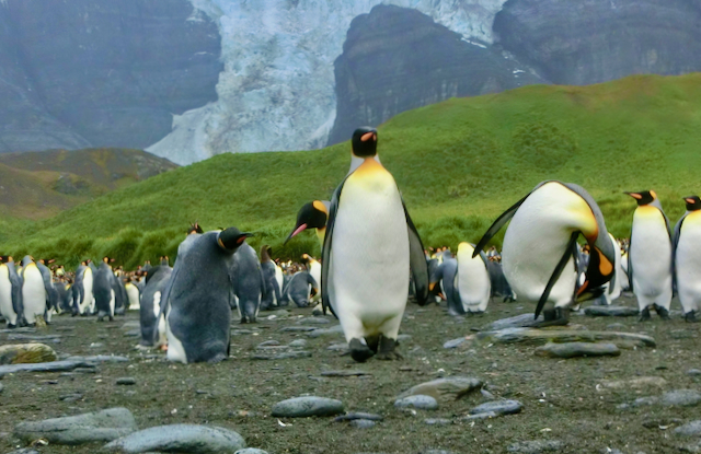
These WindWalker gallery photographs show three different parts of Antarctica’s frozen world.
Climate
Cold, dry, high, and windy
Antarctica is Earth’s coldest continent. It is also a desert: very little rain or snow falls each year. Its thick ice makes it the continent with the highest average elevation, and powerful winds can sweep downhill from the icy interior.
The world’s lowest directly recorded air temperature, −89.2°C, was measured at Vostok Station in 1983.
−60°C about the average winter temperature at the South Pole
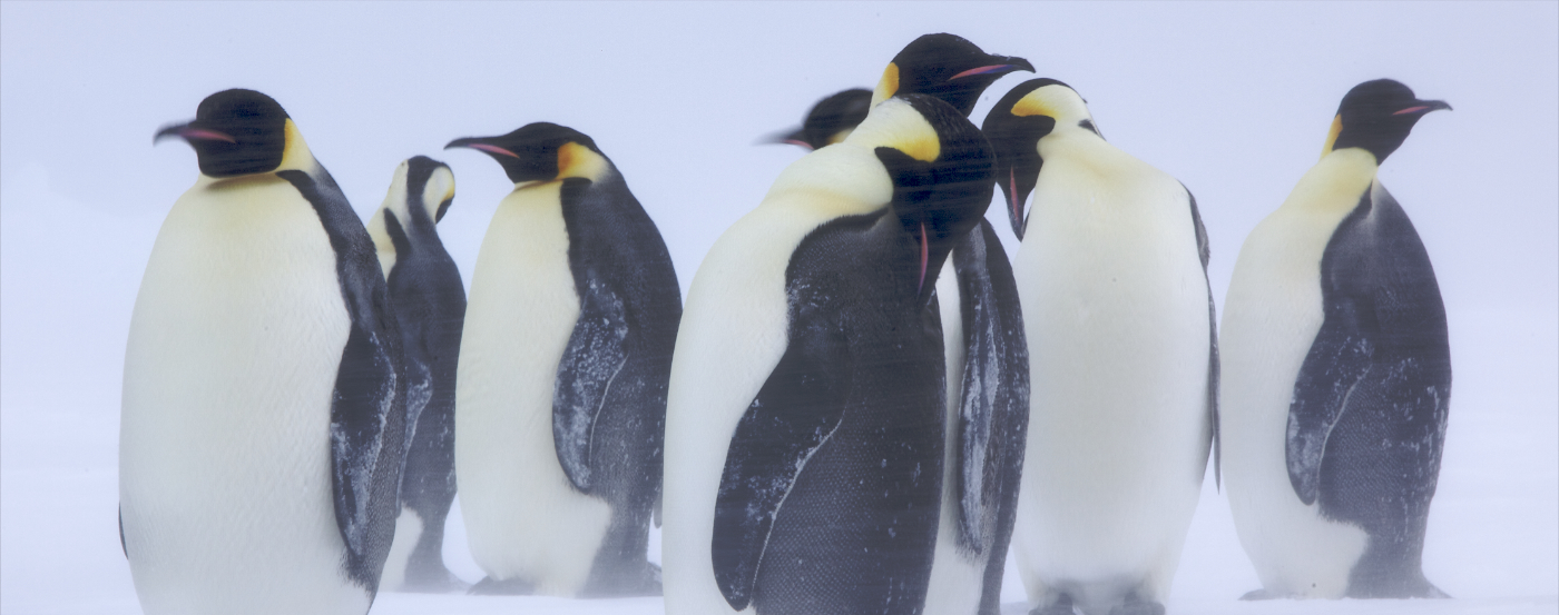
Emperor penguins face winter together
Emperor penguins are the only penguins that breed during the Antarctic winter. Colonies can face blizzards with winds up to 200 km/h. The birds huddle close and slowly change places, so each penguin gets a turn in the warmer middle.
A useful difference
Weather is today. Climate is the pattern.
Weather
What the air and sky are doing now or soon: a blizzard today, a strong wind tonight, or sunshine tomorrow.
Climate
The usual pattern measured over many years: Antarctica is generally colder and drier than any other continent.
Summer light, winter night
Antarctica’s seasons are opposite to those north of the equator. December is summer; June is winter. Near the South Pole, the Sun stays up for months in summer and stays below the horizon for months in winter.
Why? Earth is tilted as it travels around the Sun. During southern summer, the South Pole tilts toward the Sun. During southern winter, it tilts away.
Science sources
This chapter was checked against educational material from scientific and government organisations.
- British Antarctic Survey · Antarctic factsheet
- British Antarctic Survey · Earth’s frozen continent
- Australian Antarctic Program · Sunlight hours
- Australian Antarctic Program · Emperor penguins in winter
- NASA Kids · Which pole is colder?
- NASA Earth Observatory · Blue Marble world map
- NASA/JPL · South-polar view of Earth
- Australian Antarctic Program · Tourism frequently asked questions
- British Antarctic Territory · Visiting Antarctica